Comprehensive Freight Improvement Database
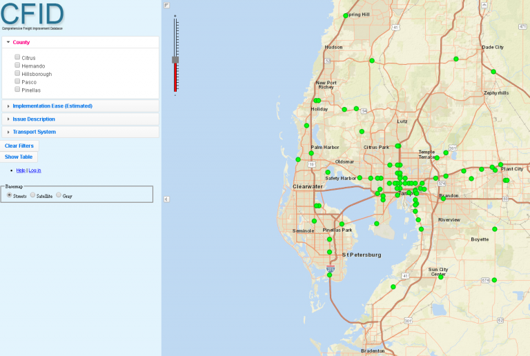
The Comprehensive Freight Improvement Database (CFID) inventories and organizes “freight “hot spots” or locations where operational challenges exist for the efficient movement of freight. These include intersections that pose maneuverability challenges for professional truck drivers, delay caused by conflicts for truck and rail movements, insufficient access to important freight destinations, among other freight issues on the transportation network.
The purpose of CFID is assist the FDOT to prioritize and fund freight improvement strategies at the identified locations. It also provides planners, engineers and other freight stakeholders access to the inventory of the freight transportation infrastructure conditions and needs that impact regional goods movement and local accessibility to freight activity locations.
The freight operational issues included in CFID generally fall under the categories of lane and storage capacity, roadway operational deficiencies, safety and maintenance. These locations and related information within CFID can be queried to identify, summarize and map information relevant to a variety of planning, traffic operations, design and maintenance initiatives.
CFID Map Viewer
The CFID records can be viewed through an online mapping application. Click on the map image below to open the map viewer.