Freight Network
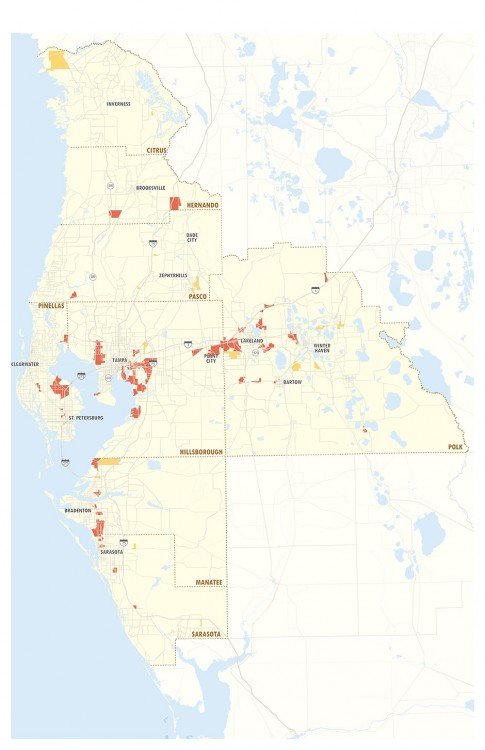
The Tampa Bay region’s freight transportation network is an extraordinary resource for the promotion of commerce, the creation of jobs, and the improvement in the quality of life of our residents. Tampa Bay’s freight transportation system includes regional freight activity centers (FACs) and the freight transportation network that connects FACs to each other and to markets across the state and country.
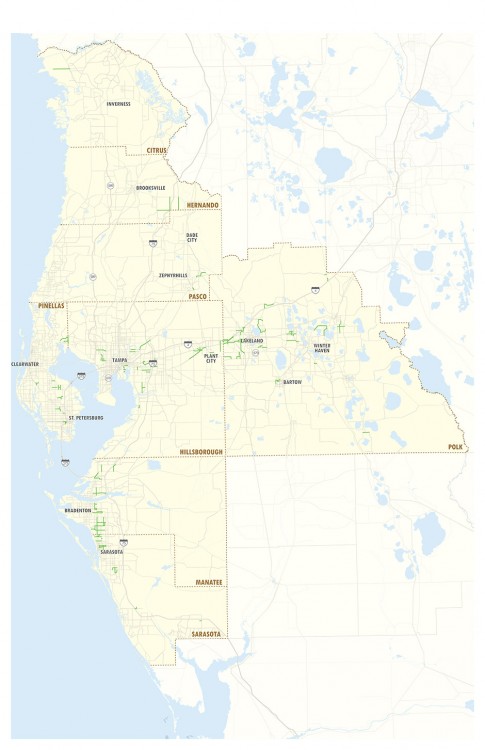
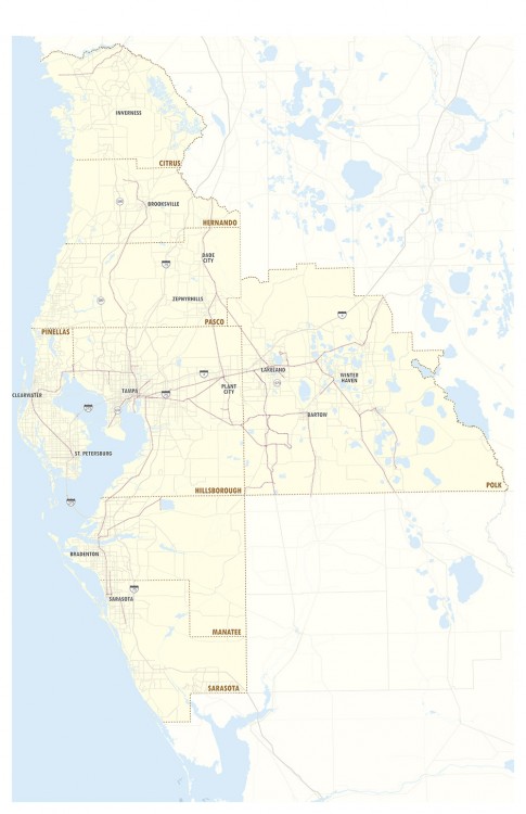
Freight activity centers have been identified throughout the Tampa Bay region to provide context for where industrial and freight logistics activity is heaviest and to define strategies for preserving and improving mobility on the transportation corridors that serve them. The freight transportation network provides for the mobility of the broad range of goods traveling through the Tampa Bay region. The capacity and efficiency of the roads, railroads, waterways, pipelines, and air freight facilities that compose the freight network – and how well these modes interact with each other – influence the region’s economic competiveness.
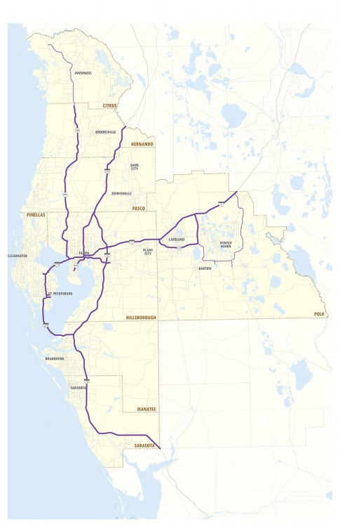
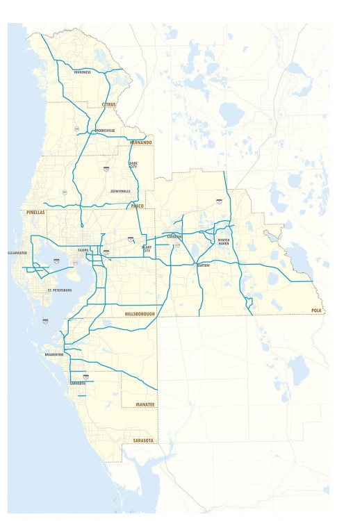
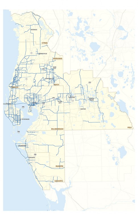
The hierarchy of the regional freight roadway network includes limited access facilities, regional freight mobility corridors, freight distribution routes, and freight activity center streets. The water component of the freight system is the primary means of exporting large quantities of goods overseas. Railroads are an efficient mode for transporting containerized, bulk, and break bulk cargoes between the region’s freight activity centers and statewide and national destinations. Air freight allows for the quick transport of time-sensitive goods over long distances. Pipelines provide efficient, cost-effective transportation of imported fuels to major users.