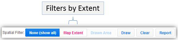
CFID also incorporates a spatial filter based on map extent which allows users to display GIS information using a custom drawn shape or the Map Extent tool. See Figure 11 for the location of the buttons for each method. Use the navigation tools to position the boundaries to the area of interest. Once the area of interest, or map extent is defined, click the Map Extent button (see Figure 15) within the “Spatial Filter Toolbar” to load the records within the specified map extent. With the Map Extent button enabled, the “Attribute Table” will load only those records defied in the map extent.
Figure 14 – Map Extent Button